

Custom
Wall
Maps
NEW!
â
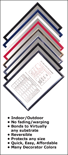
Custom
Mount
â
Laminated
â
Foam Core
â
Framed
â
Full Color
â
Black
& White
â
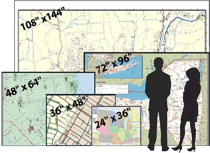
2' x 3'
to
9' x 12'
â

Rand McNally & Thomas Bros. Wall Maps
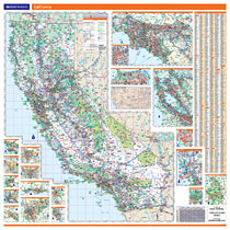
State of California |
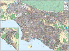
Los
Angeles - Orange County |
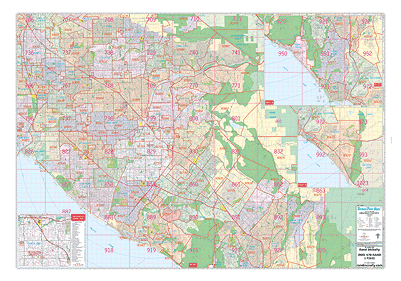
Orange
County |
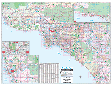
Southern California
Arterial |
 Click Map to Zoom |
 Click Map to Zoom |
 Click Map to Zoom |
 Click Map to Zoom |
Map specs:
Map indications include:
|
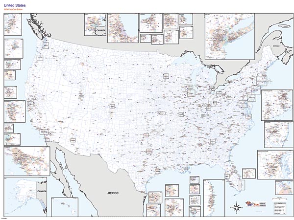
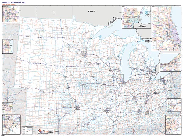
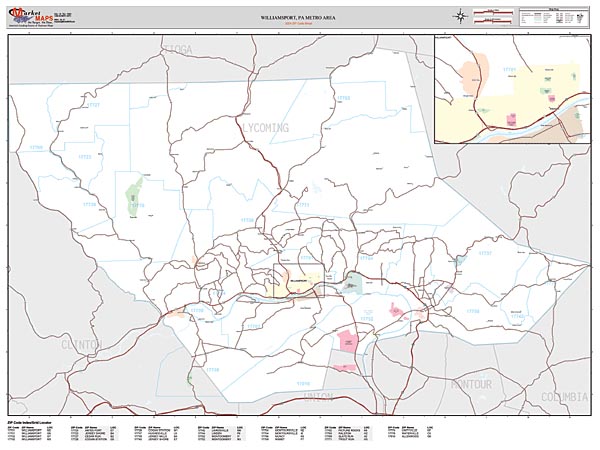
Our Rand McNally maps offer high-quality cartography, and are designed for business and referential use. This map includes
This map is laminated on both sides using 3mm hot lamination and is compatible with standard dry erase markers. |
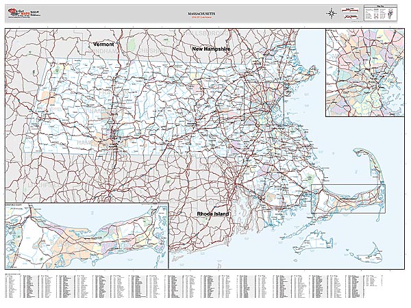
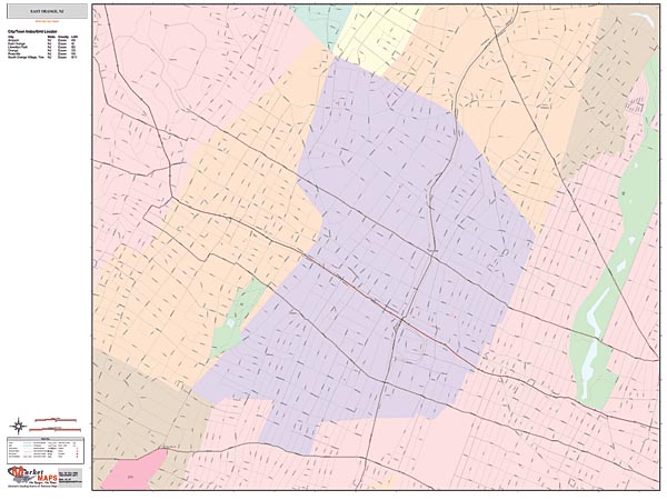
Our Rand McNally maps offer high-quality cartography, and are designed for business and referential use. This map includes
This map is laminated on both sides using 3mm hot lamination and is compatible with standard dry erase markers. |
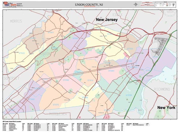
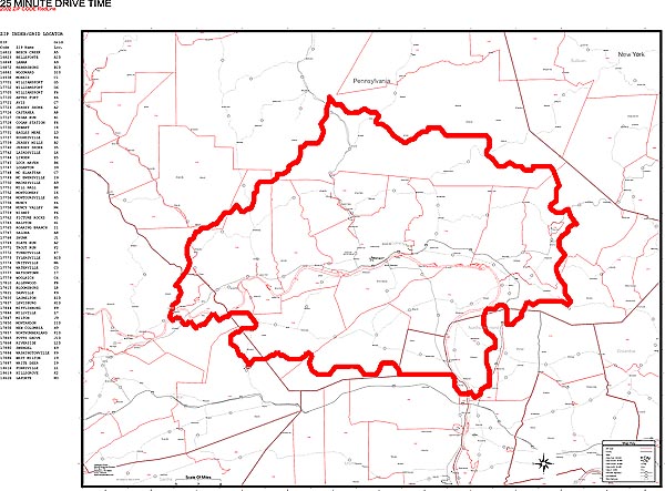
Our Rand McNally maps offer high-quality cartography, and are designed for business and referential use. This map includes
This map is laminated on both sides using 3mm hot lamination and is compatible with standard dry erase markers. |
| Rand
McNally & Thomas Bros. Wall Maps Specials: Maps
- $229.00 w/Foam Core add $79.95 w/Frame add $100.00 Call to Order: Phone: 714.532.4300 or 714.532.4337 |
|||
OTHER WALL MAPS & FEATURES:
- CUSTOM COVERAGE OF ANYWHERE IN THE U.S.
- CHOOSE ARTERIAL FORMAT FOR FULL STREET DETAIL
- ZIP CODES AND CENSUS BOUNDARIES AVAILABLE
| WALL MAPS | WALL MAPS | ||
|
|
||
PEOPLE
WHO USE AND NEED THESE MAPS
|
|||
|
|
||
PRO EDGE AVAILABLE
UNITED STATES MAPS
US REGIONAL MAPS
STATE MAPS & STATE SECTIONAL MAPS
COUNTY MAPS
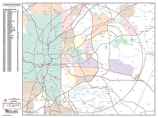
CUSTOM RADIUS MAPS
METRO MAPS
CITY MAPS
RED LINE MAPS AND ZIP CODE MAPS
Call to Order:
Pacific West Maps
gregg@pacificwestmaps.com
994 N MAIN ST
ORANGE, CA 92867
Phone: 714.633.0800WE ACCEPT ALL MAJOR CREDIT CARDS AND SHIP BY UPS AND FEDEX.
WE ARE OPEN WEDNESDAY THRU SATURDAY - 10AM TO 6PM.
CLOSED SUNDAY THRU TUESDAY
Copyright © 2011 Pacific West Maps
|
 |
an
ed orcutt development
|